 Blue Edge
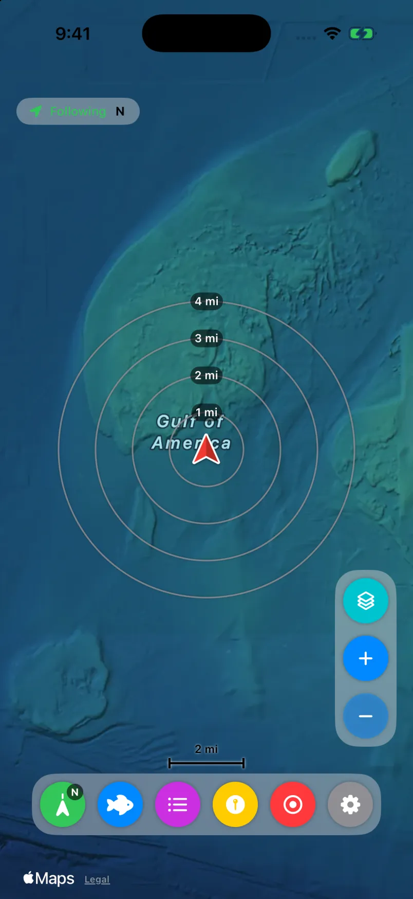
Previews first
See sample views of most finished packs in the app before you choose one.
Blue Edge Relief
Relief is a custom bathymetry overlay rendered by Blue Edge from public NOAA data and related sources. It sits over Satellite or Hybrid, so you see the land you know and the bottom you don’t.
NOT FOR NAVIGATION. Blue Edge Relief is for situational awareness only. It isn’t a chart and may contain errors, gaps or interpolation. Use official NOAA charts and your vessel’s navigation equipment.
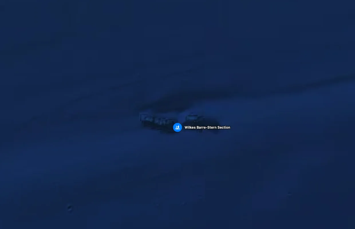
Zoom in far enough and individual features stand out. This is the stern section of the Wilkes-Barre, a public wreck off the Lower Keys, in Relief.
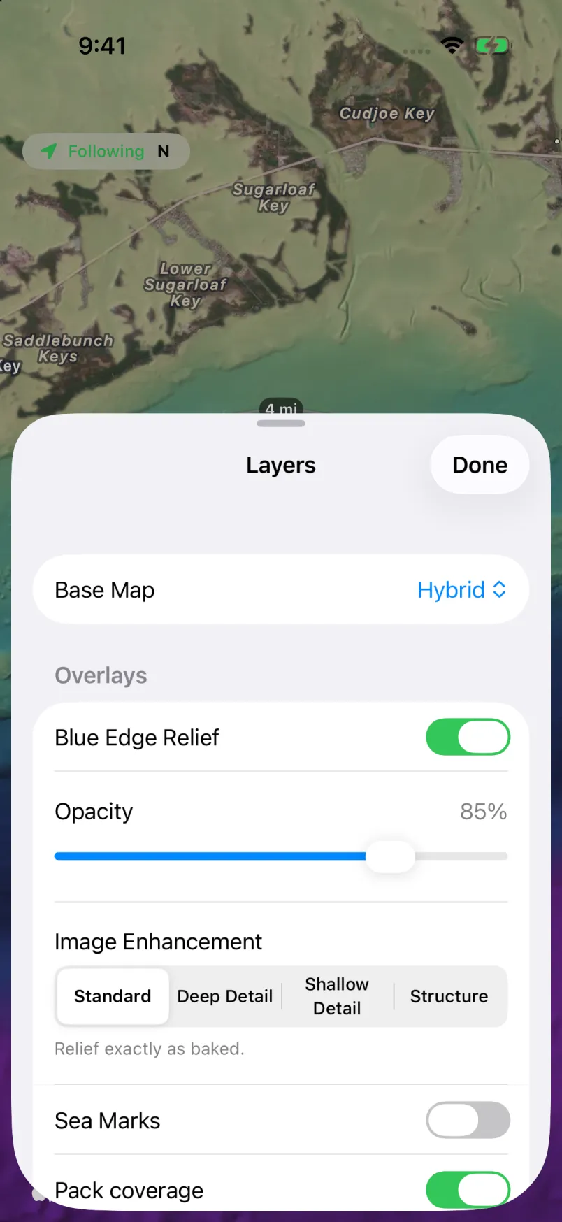
Packs download whole, then draw from your device. No signal needed once a pack is on board.
See sample views of most finished packs in the app before you choose one.
Keeps less detail at the closest zoom to save space. To get it back, turn it off and choose Download Full Detail.
Included with the subscription, along with sync.
Coverage
Eight finished packs cover parts of the Florida coast. More are in progress.