 Blue Edge
Trip Plan
Ordered stops with leg distances, and a float plan you can save as text or PDF.
Mac · Coming to the App Store
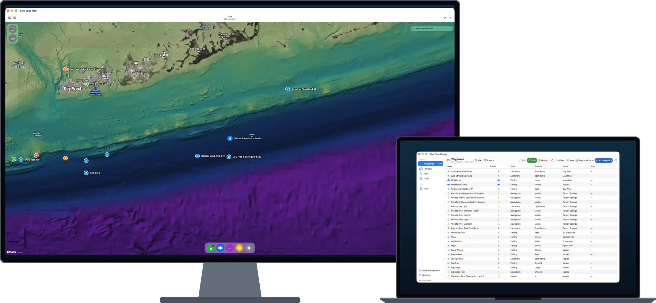
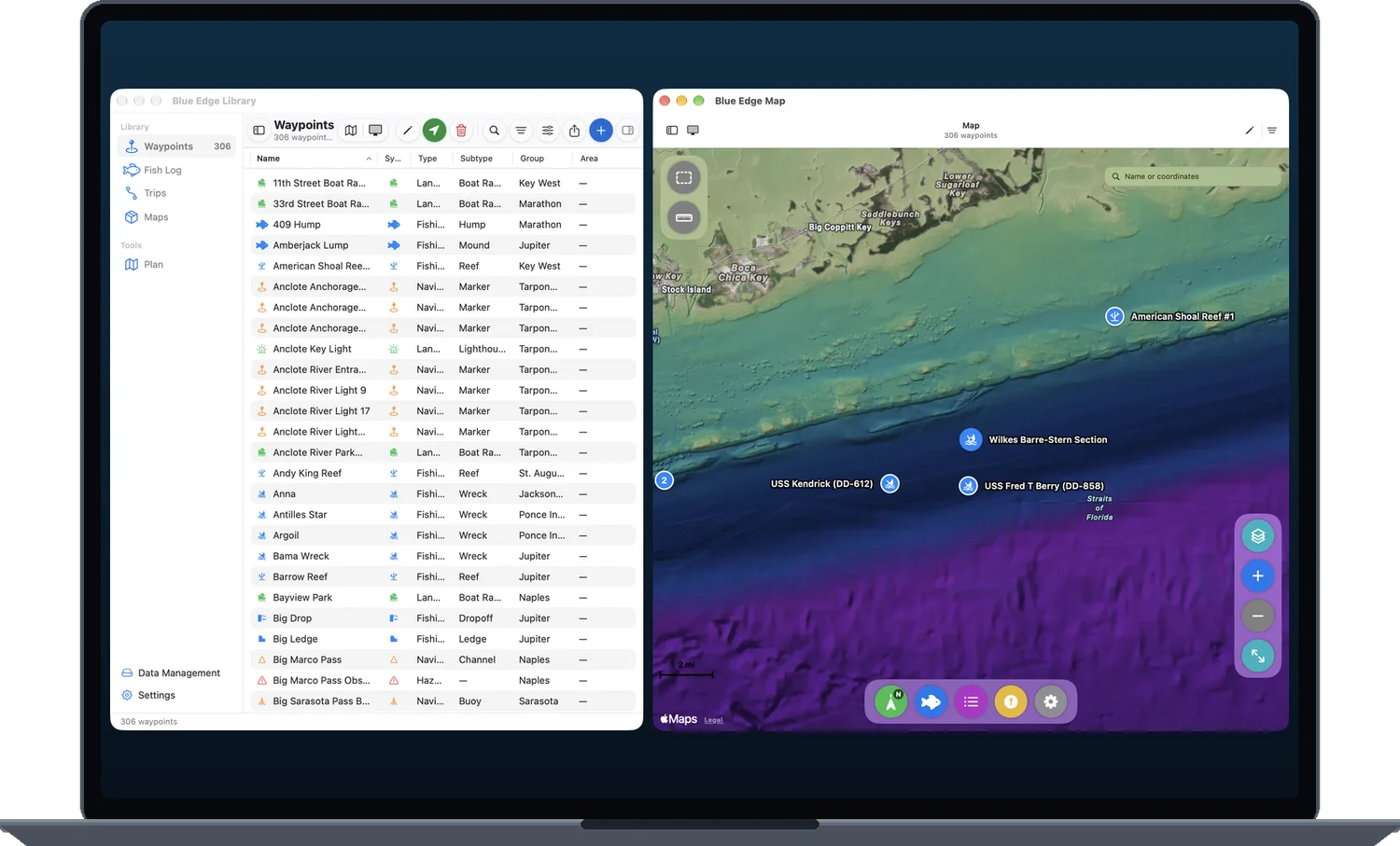
Plan on the big screen, organize the whole library, and send the right marks to the boat.
The Map and Library open as two windows, side by side or across two displays. Select a mark in one and it’s selected in the other.
Ordered stops with leg distances, and a float plan you can save as text or PDF.
Measure on the map, and draw your own area outlines. They sync to your iPhone and iPad.
Filter to one group, then export for a Garmin plotter or Navionics. Only that trip goes on the card.
| Formats | |
|---|---|
| Import | Garmin Navionics app, Garmin plotter userdata (.adm), GPX, CSV |
| Export | Navionics and Garmin plotter (GPX), CSV, GPX |
| Backup | .blu backup files you keep yourself |